


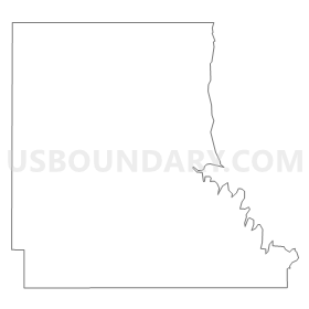
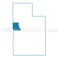
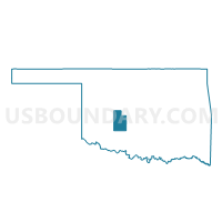
Voting District 913, Caddo County, Oklahoma
About
Outline
Summary
| Unique Area Identifier | 653575 |
| Name | Voting District 913 |
| County | Caddo County |
| State | Oklahoma |
| Area (square miles) | 40.16 |
| Land Area (square miles) | 40.09 |
| Water Area (square miles) | 0.07 |
| % of Land Area | 99.83 |
| % of Water Area | 0.17 |
| Latitude of the Internal Point | 35.24322280 |
| Longtitude of the Internal Point | -98.57388040 |
Maps

Graphs
Select a template below for downloading or customizing gragh for Voting District 913, Caddo County, Oklahoma


Neighbors
Neighoring Voting District (by Name) Neighboring Voting District on the Map
- Voting District 1013, Caddo County, OK
- Voting District 102, Caddo County, OK
- Voting District 20, Washita County, OK
- Voting District 3, Washita County, OK
- Voting District 812, Caddo County, OK
Top 10 Neighboring County Subdivision (by Population) Neighboring County Subdivision on the Map
- Carnegie CCD, Caddo County, OK (3,215)
- Hydro CCD, Caddo County, OK (1,756)
- Northeast Washita CCD, Washita County, OK (1,380)
- Southeast Washita CCD, Washita County, OK (403)
Top 10 Neighboring Unified School District (by Population) Neighboring Unified School District on the Map
- Carnegie Public Schools, OK (2,795)
- Hydro-Eakly Public Schools, OK (2,340)
- Fort Cobb-Broxton Schools, OK (1,845)
- Washita Heights Public Schools, OK (1,085)
Top 10 Neighboring State Legislative District Lower Chamber (by Population) Neighboring State Legislative District Lower Chamber on the Map
Top 10 Neighboring State Legislative District Upper Chamber (by Population) Neighboring State Legislative District Upper Chamber on the Map
Top 10 Neighboring 111th Congressional District (by Population) Neighboring 111th Congressional District on the Map
Top 10 Neighboring Census Tract (by Population) Neighboring Census Tract on the Map
- Census Tract 1618, Caddo County, OK (3,215)
- Census Tract 9654, Washita County, OK (1,783)
- Census Tract 1617, Caddo County, OK (1,756)